New landscape atlas helps us envision Paris in the future
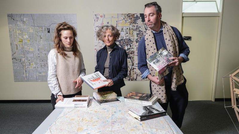
The word “atlas” brings to mind a large, beautifully illustrated book with numerous maps that, taken together, paint a detailed picture of a region at a given point in time – an encyclopedia of the region, so to speak. That’s certainly the case for The Paris Atlas of Landscapes, developed by EPFL’s Habitat Research Center (HRC) over the course of a year. But this atlas goes even further, as it also explores how Paris residents feel about their city. It’s based on the definition of a landscape adopted at the Council of Europe Landscape Convention in Florence in 2000: “An area, as perceived by people, whose character is the result of the action and interaction of natural and/or human factors.” This implies that residents should play an active role – on par with that of policymakers – in shaping, protecting and enhancing their urban landscape.
The atlas is almost complete. Next spring, it will be published in the form of an over 500-page book and an interactive website. In addition to maps, it also includes testimonials from city residents, which echo the findings of French experts and the HRC researchers. What’s more, the atlas is designed to be forward-looking: it addresses the key challenges facing Paris – a city in the midst of a societal and environmental transition – and puts forth various recommendations.

Participative workshop with local residents about urban landscapes, 23 June 2023, at the Pavillon de l'Arsenal. © Ben Gitai / HRC / EPFL
Memories and shared perceptions
For the French government, the City of Paris and the other stakeholders in this initiative, the atlas comes at a pivotal moment in the city’s history. It sheds light on the challenges and threats to Paris’s natural and urban landscapes as the region undergoes profound transformation. “Our atlas is a repository of memories and shared perceptions that aren’t fixed in time and that can inform future planning efforts,” says Paola Viganò, head of the HRC. “These memories and perceptions are in turn the result of a vision in which landscapes play a key role.”
Ben Gitai, a postdoc at HRC and the research team coordinator, adds: “We broke the city down layer by layer in order to portray its full geomorphological, historical and societal complexity. In this way, our method revealed characteristics specific to certain areas.” The HRC researchers created the atlas as a hybrid initiative: in addition to the book, it includes activities open to the public – 15 walks around the city as well as participative workshops – and interviews with experts and city officials such as Paris’s district mayors. This information enabled the researchers to examine how the residents’ testimonials resonate with urban-planning theory, plans and documents. The atlas also incorporates Parisian imagery found in literature and the cinema.

A walk organized by the team in the Jourdain neighborhood, June 2023. © Ben Gitai / HRC / EPFL
Preserving local uniqueness
In analyzing the city of Paris, the researchers took a granular look at the elements making up its urban landscape: a wide variety of hills, inclines, mountains, valleys and mountain passes. The importance of such elements is often underestimated, according to the team, as a city’s topography is a key factor in how its residents experience its spaces and how the natural environment interacts functionally with urban life. The atlas divides Paris into a number of “villages” along with the areas between the villages, referred to as “common metropolitan spaces” – an approach that opened the door to many discussions. The idea was to articulate the relationship between Paris as a bustling capital and the spaces where its residents live and relate on a local level, against a backdrop of a mixed landscape shaped by diverse histories, morphologies and uses.
The researchers stress that it’s important to preserve the unique features of each village and inter-village area because Paris risks becoming a homogeneous metropolis. This homogenization is being driven by a number of factors: gentrification, one-size-fits-all approaches to climate change, sociological shifts (such as with mass tourism), growing inequality between the rich and the poor (with the middle class being squeezed out) and changes in the urban landscape through large-scale initiatives for adapting to droughts and heat waves. The city’s goal to plant 170,000 trees and grow vegetation on building facades and rooftops is an indication of the scale of the changes to come in a monument city like Paris.

Seminar with the Ecole nationale supérieure of architecture of Versailles, on 6 April 2023. © Ben Gitai / HRC / EPFL
Adapting to climate change
The atlas goes on to give an assessment of Paris’s biodiversity, based on ongoing studies and an analysis of the city’s vulnerabilities to global warming. For instance, one map shows that Paris’s soil is still largely impermeable, even though periods of heavy rain will probably become more frequent. The team also reviewed the infrastructure along the Seine, finding that many structures need to be reinforced urgently to prevent overflows, street flooding and overloaded pumping stations. They also concluded that there are too many heat islands in the city, given that by 2080, Paris will likely experience temperatures of 50°C for around 30 days each year.
A website and exhibition
With The Paris Atlas of Landscapes, the EPFL researchers hope to give city officials a tool for identifying weaknesses and fostering debate. The associated website will include photos, videos, audio testimonials, interactive maps and downloadable walking routes. In addition, a public exhibition of the atlas will be held at Paris’s Pavillon de l’Arsenal next spring.

A walk organized by the team, close to the Seine, October 2023. © Ben Gitai / HRC / EPFL
Excerpts from testimonials
- “His childhood home was on the ground floor, and now his job is on the ground floor because his company is on the ground floor. So to him, city life is life on the ground floor, on the street – the Arab World Institute, Centre Pompidou, etc.”
- “I know we’re talking about urban landscapes here, but personally I feel I’m in a ‘landscape’ if I can see a tree-lined square or garden amid all the concrete.”
- During a walk down the Champs-Elysées: “This is horrible! While the line of sight is pretty amazing, the modern use of the space is deplorable. The retail shops and signs are a plague. It’s excruciatingly ugly. And it completely covers up the architecture. The large 1900s-style buildings have been restored, but the billboards and bright lights distract you from what you should really be looking at.”
- “I live in Paris, near the Palais Royal – a neighborhood that, more than any other, shows how our capital is made up of small villages that have nothing to do with each other…This defunct neighborhood has all the beauty of an empty seashell washed up on the beach.” Jean Cocteau, Paris, Grasset, 2013, p. 27–28.
