Artificial intelligence for avalanche warning systems
At the WSL Institute for Snow and Avalanche Research SLF, humans and machines now work hand in hand. Both areas of expertise are consolidated in the avalanche bulletin, which the institute produces on a daily basis on behalf of the Federal Government. First, three avalanche forecasters draw up a regular, expert-based forecast of the avalanche risk for the next day, working independently of one another. To do so, they make use of up-to-date information on weather trends and forecasts, data from automatic measurement stations, information from observers in mountain areas and feedback from mountain guides. Region by region, they assign these findings to one of five danger levels. Only once this has been achieved do they integrate in the computer’s automatically generated forecast, which is based on machine learning (ML). The computer has been taught how to draw up these forecasts by SLF researchers, who work in close collaboration with the Swiss Data Science Center (SDSC). Their research was immediately taken up by the team on the operational side of the avalanche warning service.
An SLF forecaster obtained some preliminary experience with the numerical prognosis model over the course of the first winter. The automatically generated forecast of avalanche danger has been available to the entire team at the warning service since winter 2021/ 2022. The ML method puts together a forecast without any human involvement by drawing on measurement and model data. Data from automatic measurement stations, the numerical snow cover model SNOWPACK and COSMO, MeteoSwiss’ weather forecasting model, is combined to forecast the danger level for dry avalanches over the next 24 hours.
Automatic forecasts
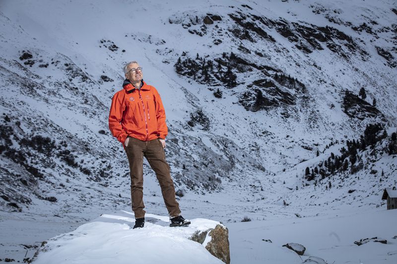
Now, SLF researchers have refined the ML-based computer model and expanded the model palette. Winter 2022 / 2023 marked the first time that automatic forecasts could also be generated for wet snow avalanches and the stability of the snow cover. “Thanks to the collaboration with the SDSC, the model chain was semi-operational just 18 months after we started and we were able to test out the automated forecasts. The results were promising,” emphasises Jürg Schweizer, who heads up the project. The model’s predictions are then integrated into the forecasts drawn up by humans. “We hope that the digital, automatically generated forecasts will improve the consistency of our warnings. They offer a valuable, independent second opinion,” states Schweizer, Head of the SLF.
The greater the danger of an avalanche, the larger the size of the avalanches that are to be expected. In addition, they indicate a critical situation. That said, it is scarcely possible to access real-time information about avalanches that are currently occurring. Detection systems based on seismology or infrasound bridge this gap, with ML used to filter out the avalanche signals. At present, initial tests are also underway at SLF to explore the use of satellite images or drone photos to obtain information on the spatial distribution or size of avalanches. These remote sensing methods have the major benefit of being able to paint a comprehensive picture of avalanche activity, ideally for the entire Swiss Alps. The remote sensor data is recorded in the avalanche warning and also serves to validate and improve models, such as dynamic avalanche models for the allocation of danger zones. “For very large avalanches, we take drone photos to capture the contours of the avalanches that have descended and to calculate the avalanche volume and mass balance.”
Maps thanks to deep learning
Artificial intelligence (AI) is also used in other areas of research at WSL. WSL is developing a system that automatically records the presence of narrow-leaved ragwort and tree of heaven along motorways, in collaboration with ETH Zurich and financed by the Federal Office for the Environment and the Federal Roads Office. Both species are on the blacklist of invasive neophytes in Switzerland. A proprietary, precision method based on deep learning (DL) was used to produce the maps, which involved filming being undertaken from inside a moving car. This approach produced reproducible, spatially high-resolution distribution maps which are also being created for other species.
Modern digital tools in environmental research make it possible to obtain a greater breadth and depth of data, thanks to automation, and subject this to a more targeted scientific evaluation. The fact that WSL uses these tools not only underpins its reputation as a leader in modern environmental research, but also highlights the interdisciplinary complexity of issues relating to climate change.
